
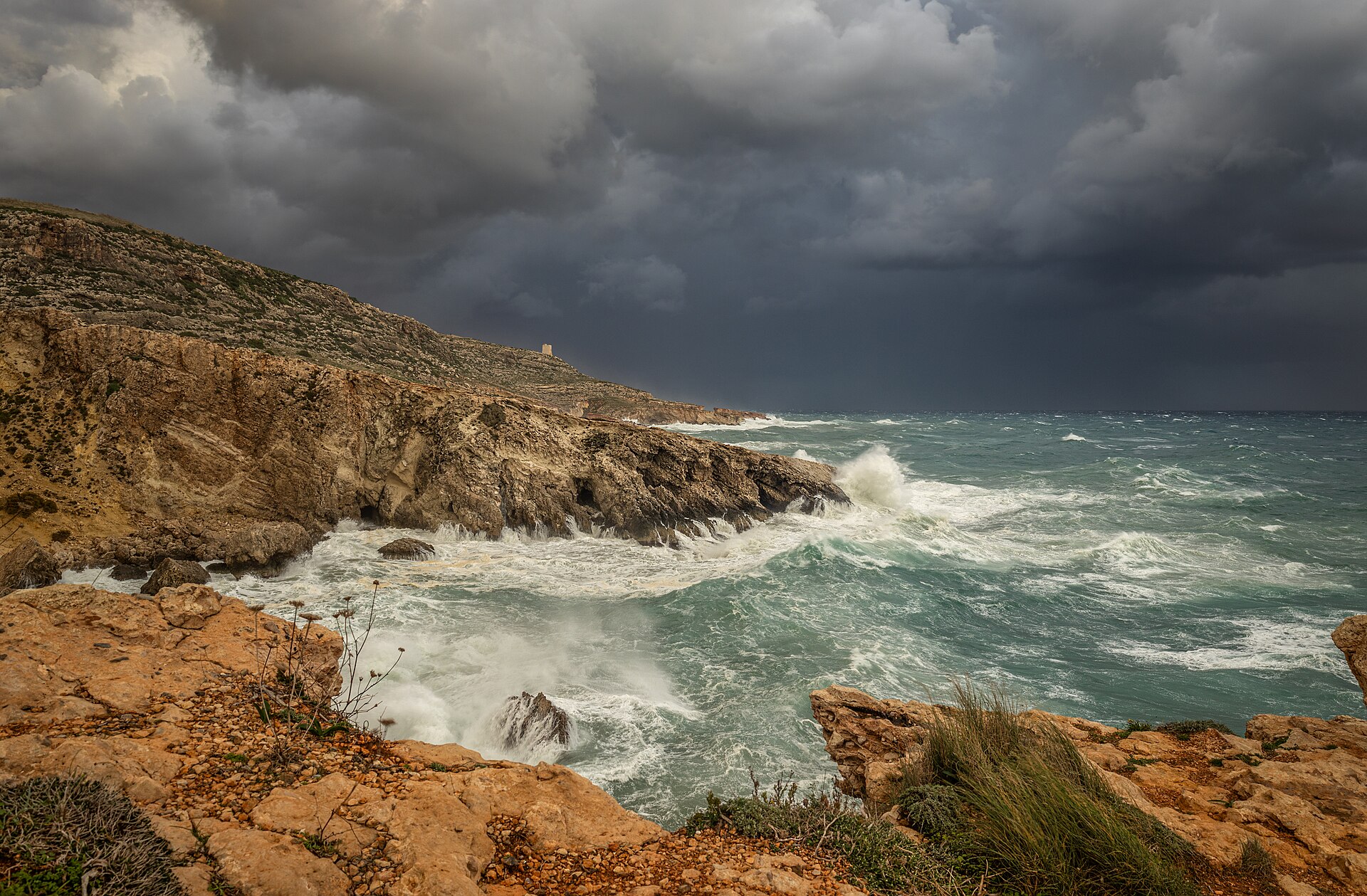
The Atlantic hurricane season was once a reliably summer-and-autumn affair, peaking in September and winding down by November. That calendar is getting harder to trust. Warmer ocean surfaces are reaching storm-sustaining temperatures earlier in the year and holding them later, pre-season storms have become a recurring feature of the past decade, and forecasters now openly discuss whether the official June-to-November season still describes the risk coastal communities actually face.
The science is more nuanced than a simple story of more storms. Researchers find the clearest signals not in the total count of hurricanes but in their behaviour: a larger share reaching major intensity, storms strengthening faster in the twenty-four hours before landfall, and rainfall rates climbing with a warmer, wetter atmosphere. Each change compresses the time available to prepare, which is why emergency managers talk less about the calendar and more about readiness at any date. Readers can follow more coverage like this on daylox.com.
Why Warm Water Arrives Sooner
Hurricanes are heat engines, drawing energy from ocean water warmer than about 26.5°C. Marine heatwaves — prolonged spells of abnormally warm surface water — have grown more frequent and longer-lived, and in some recent years parts of the Atlantic and the Gulf have crossed the storm threshold weeks ahead of the historical schedule. A named storm forming in May does not break records, exactly, but the pattern of early and late outliers has become persistent enough that forecasters treat the season’s edges as genuinely live risk.
Attribution science has matured alongside the storms. Where researchers once spoke generally about a warming climate loading the dice, they can now estimate, within days of a landfall, how much likelier or stronger a specific storm was made by human-caused warming. The answers consistently point the same way for rainfall and peak winds, even where the influence on a storm’s existence is marginal. For insurers and city planners, those numbers are becoming inputs rather than talking points.
Rapid Intensification Is the Real Problem
Ask forecasters which change worries them most and the answer is usually speed. A storm that jumps two categories in a day — once rare enough to be notable — has featured in several recent landfalls, in some cases transforming a manageable evacuation into a scramble. The causes are a stack of favourable conditions aligning over very warm, deep water, and forecasting the phenomenon has improved more slowly than forecasting a storm’s track, which is now remarkably accurate days in advance. Further data and analysis on this subject are available from the National Oceanic and Atmospheric Administration.
The practical consequence is a shift in public messaging. Warnings increasingly emphasise that a forecast cone describes the storm’s path, not its eventual strength, and that residents should prepare for a category above the one currently predicted. Coastal building codes, insurance pricing and hospital evacuation plans are all being revised around the assumption that the storm that arrives may be stronger than the storm that was forecast when decisions had to be made.
What Preparation Looks Like Now
For households in storm country, the advice has shifted from seasonal to standing: know your evacuation zone, keep documents and medicines ready to move, and treat the first credible forecast for your area as the decision point rather than waiting for certainty that arrives too late to use. Communities are investing in the unglamorous — drainage, shelters, grid hardening — whose value only becomes visible on the worst weekend of the year.
None of this requires a storm to break records to matter. A modest hurricane arriving in May, or lingering into December, finds communities in their off-season posture — staff rotated, budgets unopened, attention elsewhere — which is why forecasters have begun treating readiness as a year-round condition rather than a seasonal campaign, and why the first named storm of the year now draws the full attention once reserved for the September peak.
Whether the official season dates change is almost beside the point. The agencies that issue them already behave as if risk has no clean edges, watching the tropics from May and standing ready beyond November. The calendar on the wall is a human invention; the ocean, increasingly, keeps its own. See also our companion piece: Morning Light, Better Days: The Case for a Circadian Routine.
